Recent seismicity in southeastern AZ, southwestern NM, and northern Mexico may reflect long term phenomenon coupled with the Great Sonoran M7.5 event of 1887.
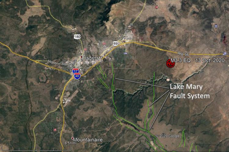
On 13 Oct. 2020 at 9:16 a.m. (MST / PDT) , a shallow magnitude 3.3 earthquake rattled Walnut Canyon about 8 miles east of Flagstaff, Arizona (population ~ 74,000).
State geological surveys play a pivotal role in identifying, evaluating and communicating geologic hazards to their state’s constituents.
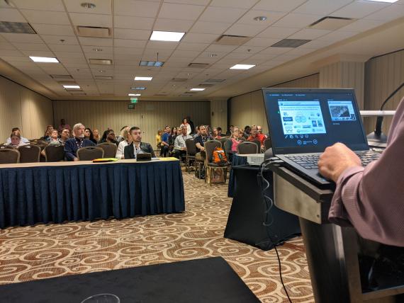

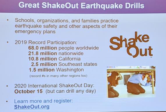
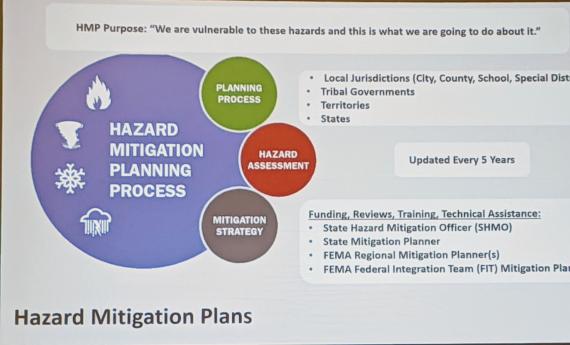
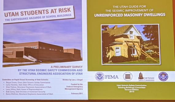

Every four years the National Earthquake Program Managers (NEPM) meeting dovetails with that of the National Earthquake Conference (NEC). The result is a 5-day conference to evaluate the latest in earthquake science, earthquake engineering, and earthquake mitigation strategies.
Do recent earthquakes in northern Sonora represent late aftershocks of the 1887 M7.5 earthquake?
'Ten earthquakes that rattled Arizona', illustrates that Arizona has earthquakes and the potential for damaging, even life-threatening, earthquakes.
Northern’ Arizona’s Washington Fault Zone (WFZ) has been reminding us of its potential for earthquake hazards over the past 3 weeks.
The Arizona Geological Survey’s broadband seismic network (ABSN) now provides a statewide seismic monitoring network that can be used to estimate seismicity rates, the amount of ground-shaking and can provide seismic data that can be used to image subsurface processes.

Arizona has earthquakes and we have the video evidence to prove it


Utah Geological Survey (UGS) and the University of Utah Seismograph Stations (UUSS) release a 1:500,000 scale ‘Utah Earthquakes (1850-2016) and Quaternary Faults’ map.

