AZGS report, "Landslide mapping along the Interstate-17 corridor from Anthem to Flagstaff, AZ" is now available online.


We are posting our GSA2020 Connects presentations and one new geologic map.

State geological surveys play a pivotal role in identifying, evaluating and communicating geologic hazards to their state’s constituents.
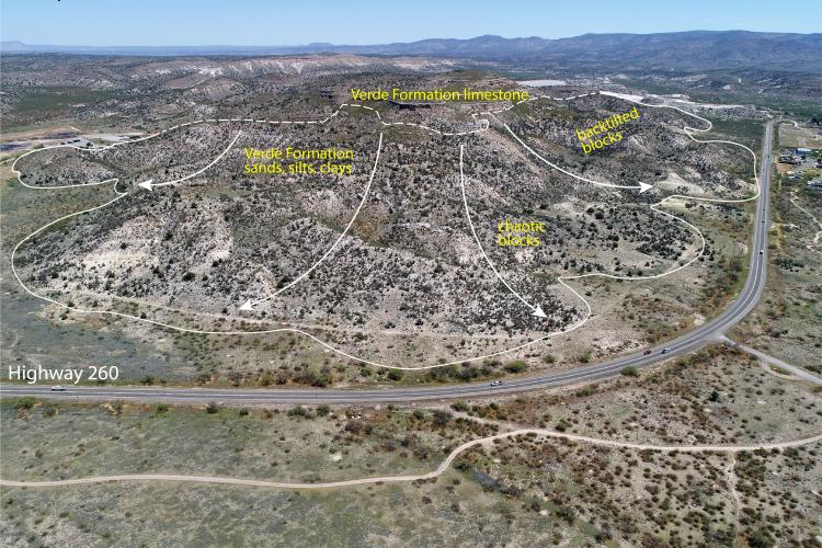
Part III. Landslides along the I-17 corridor near Camp Verde in central Arizona's Verde Valley.
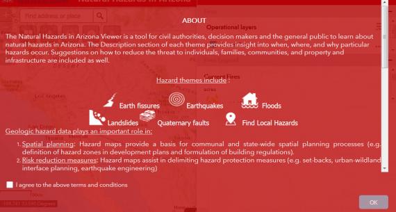


Version 2.0 of the Natural Hazards in Arizona viewer includes more than 8,000 landslide features covering more than 800 square miles.