Massive rock topple at Lake Powell over Memorial Day weekend threatens boaters.

Recent seismicity in southeastern AZ, southwestern NM, and northern Mexico may reflect long term phenomenon coupled with the Great Sonoran M7.5 event of 1887.
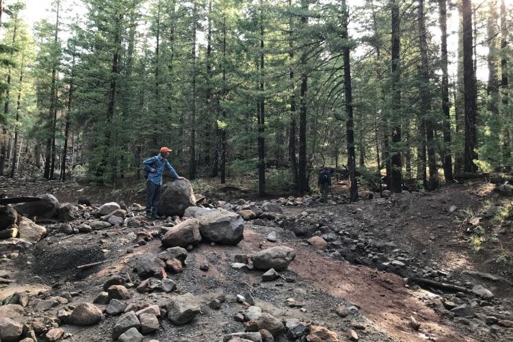
Flagstaff's Museum Fire 2019 continues to produce damaging debris flows during 2021 summer monsoon season.

Two-page flyer examines the relationship between drought and post-fire debris flows.

Monitoring precipitation and post-wildfire debris flows in mountains of the arid Southwest U.S.

State geological surveys play a pivotal role in identifying, evaluating and communicating geologic hazards to their state’s constituents.
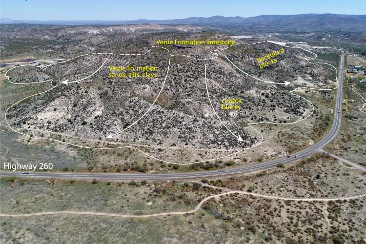
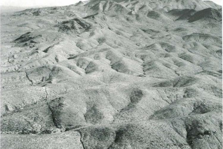
Part III. Landslides along the I-17 corridor near Camp Verde in central Arizona's Verde Valley.

AZGS at work for Arizona: Landslides adjacent to I-17 between Black Canyon City and the Sunset Point Rest area
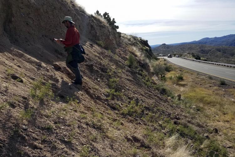
AZGS geoscientists are examining and mapping landslide features along the I-17 corridor from Anthem to Flagstaff. The results will inform ADOT's $300+ million project to improve I-17.

Graduate students at the UArizona and ASU wade into earth fissures.