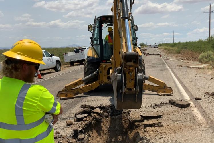
Extensive ground fractures damage U.S. 191 in Cochise County.
AZGS has partnered with UArizona Geosciences and the US Geological Survey on understanding post-wildfire debris-flows in the southwestern U.S.
Introduction
Wretched as 2020 has been, and continues to be, the holiday season has arrived. For those looking for a gift with geologic overtones, we’ve compiled a list of some of our favorite geologic books, field trips guides, and maps that are in-print or free as digital downloads.
Best wishes finding precisely what you need.

We are posting our GSA2020 Connects presentations and one new geologic map.
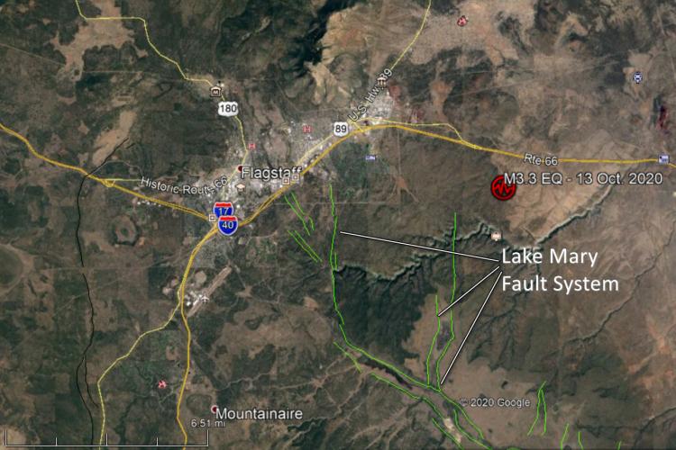
On 13 Oct. 2020 at 9:16 a.m. (MST / PDT) , a shallow magnitude 3.3 earthquake rattled Walnut Canyon about 8 miles east of Flagstaff, Arizona (population ~ 74,000).

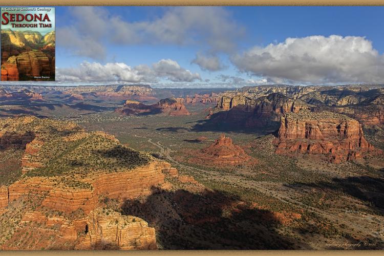
John V. Bezy's latest contribution to the AZGS DTE series: ‘Island Mountains of Southeastern Arizona: Geology, Vegetation & Wildlife’.

A groundswell of interest in the U.S. regarding ‘Geoheritage’, America’s natural geologic legacy showcased in America Geoheritage II - webinar series fall 2020.

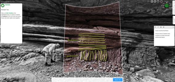

Studying the Earth in the field is an integral method of geoscience (Kastens et al., 2009), and teaching in the field is fundamental to geoscience education (Whitmeyer et al., 2009).

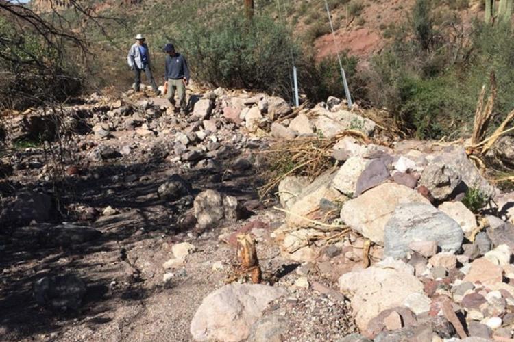
A summary of observations of a small-volume rockfall along Highway I-17 southbound, near mile-marker 250.

The evolving sedimentological picture of the lower Colorado River system before and after engineering efforts to control flow.