Satellite-based tech employed by Arizona Dept. of Water Resources has found more than 3,400 square miles of land subsidence in the state


AZGS in the field examining earth fissures with UNESCO, AIPG and AGS.

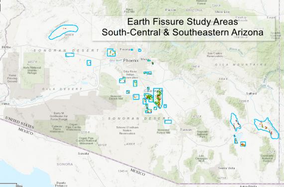

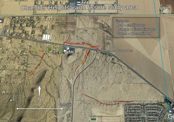
The ineluctable march of earth fissures in southern Arizona documented in newly revised earth fissure study area maps.

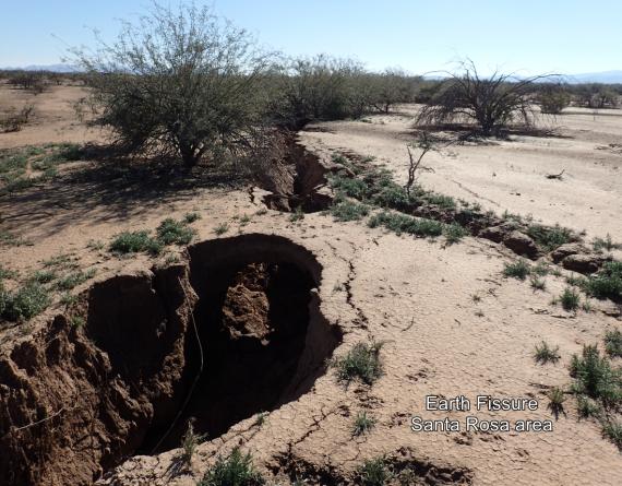
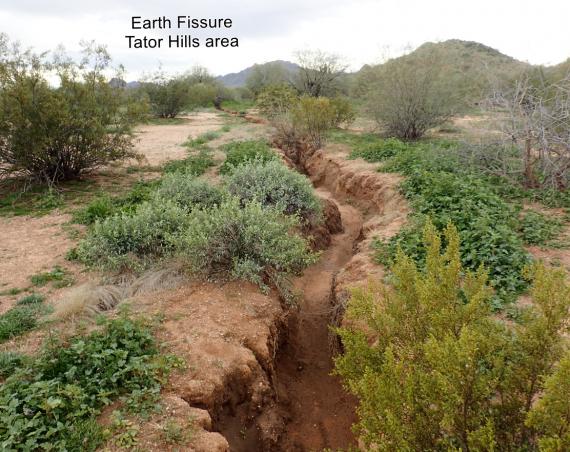
Oddly enough, Arizona has an earth fissure season; a season when fissures are more likely to first appear or undergo renewed activity. This article showcases revised earth fissure maps for parts of Cochise, Maricopa, and Pinal Counties, as well as case studies of one new (Tator Hills) and one reactivated fissure (Apache Junction). Systematic mapping and observations of the physical conditions of ‘older’ fissures suggests that earth fissure activity in some study areas is waning.