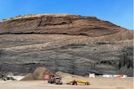
US Geological Mining Dockets for Arizona: 1950 – 1974
The U.S. Geological Survey packages some mining property data in ‘dockets’. Each docket includes material (application, contract, correspondence, maps, reports, results) ‘about a property for which an individual/company applied for exploration assistance from the Federal Government.’
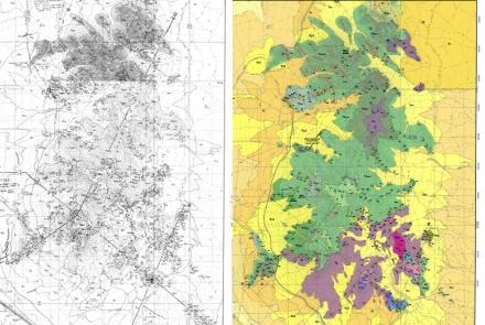
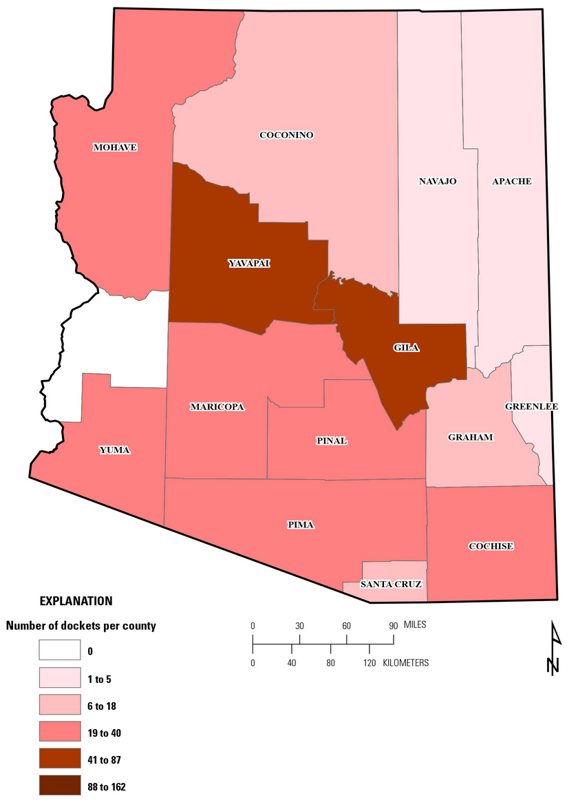
The USGS Docket 1950 to 1974 collection for Arizona includes 357 mining properties; 52 of those properties received federal contracts. ARIZONA DOCKETS
Digital files for Individual dockets range from less than 1Mb to more than 180Mb. You are well advised to download the file(s) of interest rather than opening them in a browser window.
According to USGS, “Information found in dockets describe where mineral deposits were examined, what was found, and whether it was mined. Property and proposed work descriptions together with geologic and analytical information on the target to be explored were submitted with the initial application.
Such information commonly was accompanied by unpublished data, supporting technical reports, or production records on the property. Operators of active exploration contracts were obligated by contract terms to submit monthly progress reports that described work that had been completed.
Exploration contracts also obligated contract operators to submit final reports on completed projects. These final reports described exploration work that was done, costs, problems, and findings.”
For additional information on USGS Dockets visit their webpage, Historical Files from Federal Government Mineral Exploration-Assistance Programs, 1950 to 1974.
Acknowledgments. We thank geologist and mining historian David Briggs for bringing the digital USGS Docket program to our attention.