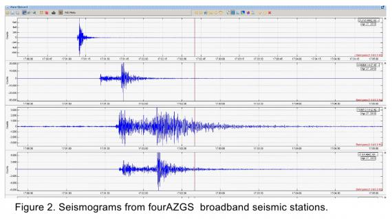
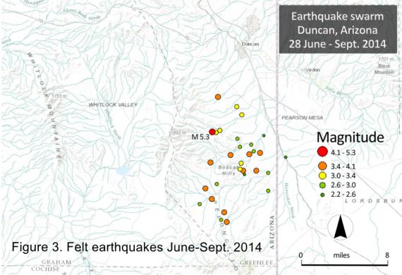
At 10:01 a.m. on 27 April 2019, Duncan, Arizona and environs were rocked by an ML 3.6 earthquake. AZGS Research Geoscientist J.Y. Ben-Horin filed this preliminary report.


In March 2019, President Donald Trump signed a public lands bill creating the Santa Cruz Valley National Heritage area encompassing parts of Santa Cruz and Pima Counties. This followed more than a decade of effort on the part of U.S.

The 3,300-square-mile Santa Cruz Valley National Heritage Area of southern Arizona was signed into law earlier in March 2019.
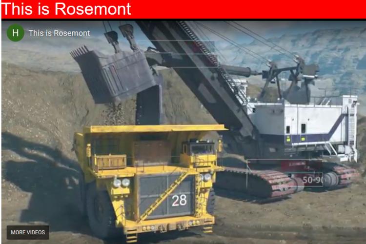
Hudbay hurdles final obstacle to initiate their mine plan operation at the Rosemont Copper Mine south of Tucson, Arizona.
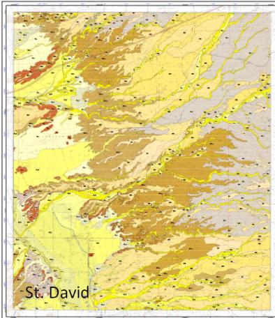
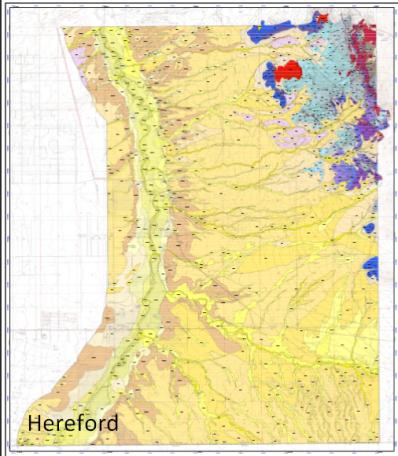
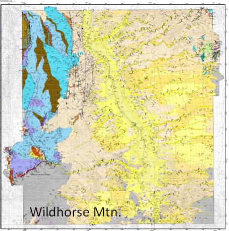

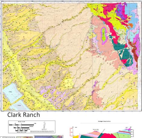
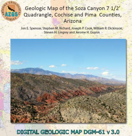
AZGS' digital geologic map product suite will now include multiple digital formats - geodatabase, geojson, KMZ and shapefiles - to meet the needs of Arizona geoscientists.

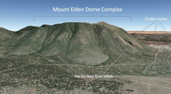
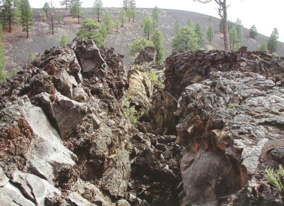
‘Touring Geoheritage Sites of Flagstaff & Environs’ StoryMap highlights 30 of the most prominent geologic, archaeologic, and cultural features near Flagstaff, Arizona.


The Virtual Arizona Experience had a great run from 14 February 2012 till March 2019. 'All good things must pass.'
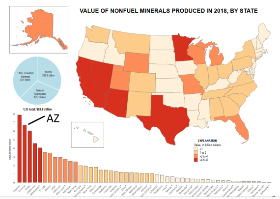

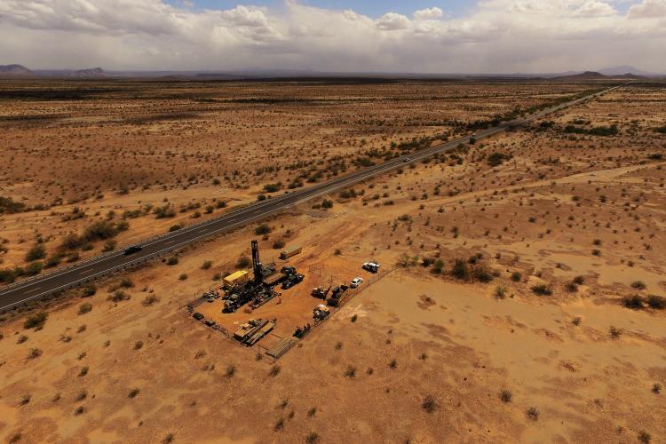
The US Geological Survey just released their 2018 report on U.S and global mineral commodities. Arizona is No# 1 in copper production in the U.S.
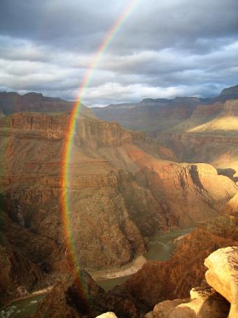
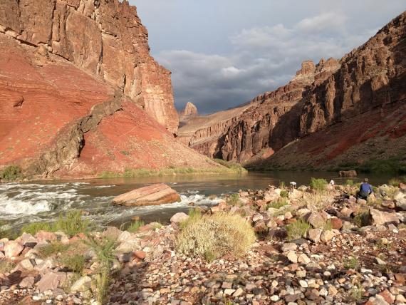

Geologic timeline of Grand Canyon with 'how to use' explanation.
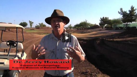
AZGS compiled and analyzed physical, geophysical and geologic data for Higley and northern Picacho basins near Florence, Arizona, to evaluate hydrogeologic conditions and boundaries related to groundwater potential.