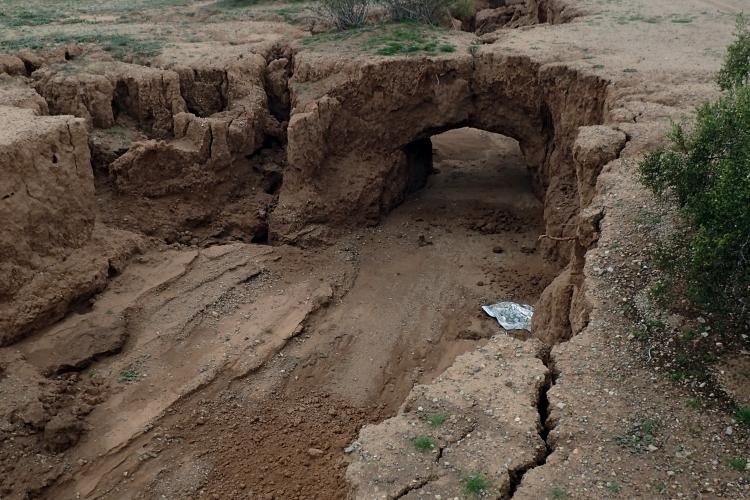
Rapid infilling of a 2-mile long fissure in the Tator Hills earth study area, Pinal County

Northern’ Arizona’s Washington Fault Zone (WFZ) has been reminding us of its potential for earthquake hazards over the past 3 weeks.


Addressing the origin of the Pliocene Bouse Formation of the Lower Colorado River Valley.


The Geologic Highway Map of Arizona is a treasure trove ...
The Arizona Geological Survey’s broadband seismic network (ABSN) now provides a statewide seismic monitoring network that can be used to estimate seismicity rates, the amount of ground-shaking and can provide seismic data that can be used to image subsurface processes.
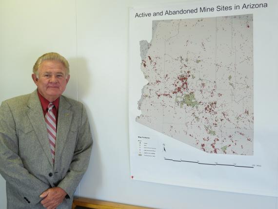

Review by the Arizona Mine Inspector for the years 2007-2018.

Long-time AGS member Steve Reynolds named a 'Preident's Professor' at Arizona State University.

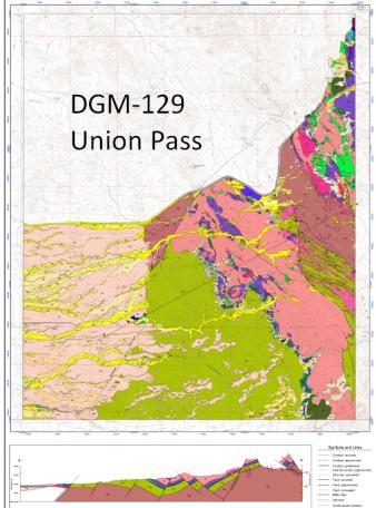

AZGS submits four digital geologic maps to US Geological Survey STATEMAP program.

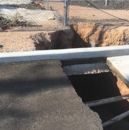
The 2018 monsoon season opened an earth fissure in Apache Junction that damaged and closed Houston Avenue road.

We are delighted to announce that the AZGS offered the position of Research Scientist in Economic Geology to Carson Richardson.