
Natural Hazards in Arizona Viewer w/ statewide Landslide theme
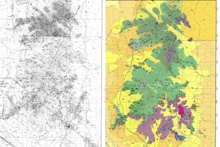
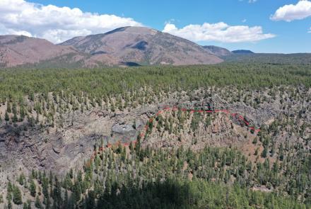
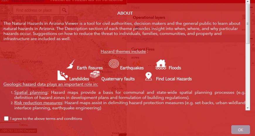
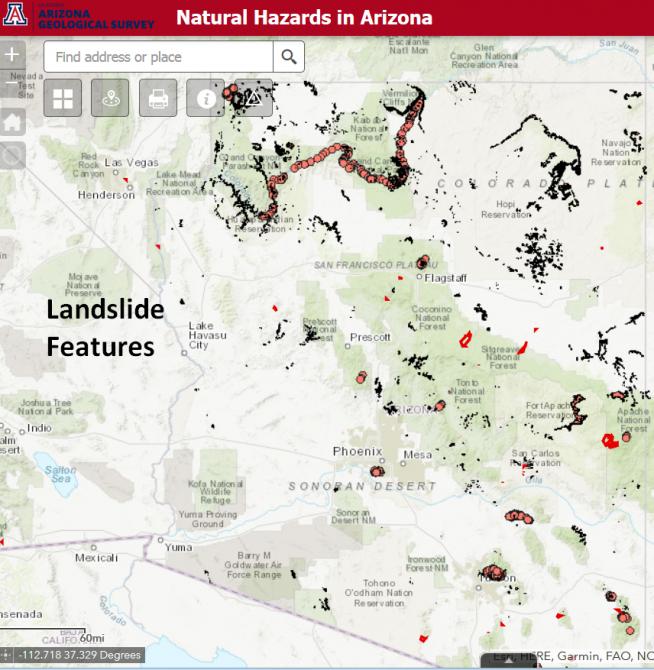
Tucson. We just released an improved interactive Natural Hazards in Arizona Viewer 2.0 that includes a statewide landslide theme. The original Natural Hazard Viewer focused on Pleistocene-Holocene faults and earthquakes, earth fissures, floods, and wildfires. Version 2.0 includes landslides - displaying the distribution and areal extent of more than 8,000 landslide features covering more than 800 square miles.
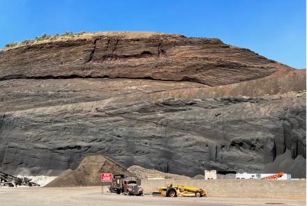
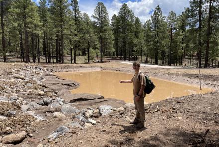
Each year natural hazards - floods, landslides, and wildfires - threaten Arizona communities and cause millions of dollars in damage to infrastructure and private property. The revised Natural Hazards in Arizona viewer, developed by the Arizona Geological Survey in cooperation with the Arizona Division of Emergency Management, makes identifying and mitigating natural hazards in Arizona easier.
The Natural Hazard in Arizona Viewer serves county planners, county and municipal emergency management offices, water district managers, federal, state, tribal, county and municipal governments, and the public. The “Find Local Hazards” tool allows individuals to identify local hazards from less than one mile to up to a 15-mile radius from a specific address.
The Viewer is complemented by ‘best practices’ mitigation strategies (About) for avoiding loss of life, minimizing personal injuries, and property damage.
The hazard databases are updated as fresh data becomes available; hazard data can be retrieved directly from the site.
The Federal Emergency Management Agency (FEMA) provided funding for initial design, construction, and deployment of the site.